 Which degree is right for you?
 Master of Public Policy
 Master of Public Affairs
 Doctoral Program
 Undergraduate Programs
 Global and Executive Programs
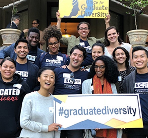
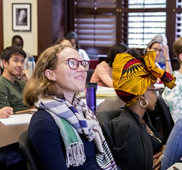
 Diversity, Equity, Inclusion
 Student Groups
 Alumni
 Directories
 Faculty
 Publications
 Working Papers
 Centers
 News Center
 Employment Stats
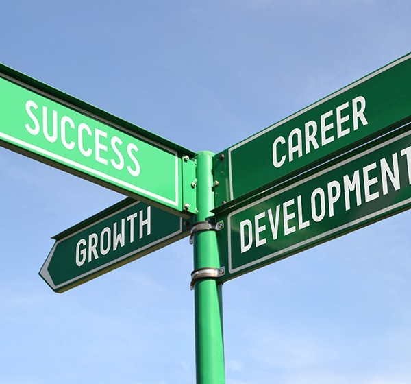
 Career Advising
 Career Resources
 Client-based Projects
 For Employers
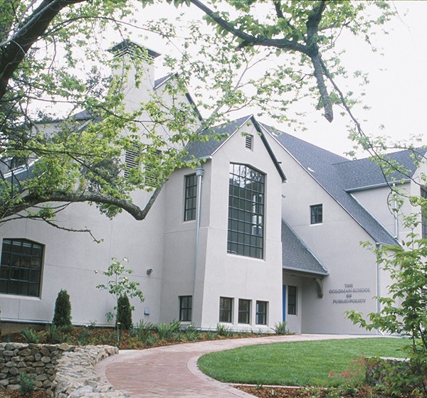
 About GSPP
 Events
 Make a Gift
 Find a Program
 Find a Faculty Member
 Find a Center
The Aerial History Project
From the Global Policy Lab
When Professor Hsiang and his research team at the Global Policy Lab (GPL) set out to convert vast archives of historical aerial photographs into rich data on the location of people and resources over the 20th century, they quickly realized the significance of their work, not only for studying how climate change generates mass migration across the globe but also for closing the huge gaps in census and survey data collected prior to the 1970s, especially in low-income countries.
Professor Hsiang and the GPL research team are capitalizing on machine learning for the public good. By combining historical photographs, satellite images, and mathematical models, they hope to understand the relationships between environmental change and human development. Just like astrophysicists study the sky to map the future, the Aerial History Project makes sense of the past to support evidence-based climate and development policy reform.
“A key benefit of these data is that they can help fill in gaps in the historical record so that we can better understand the consequences of 20th-century events," Hannah Druckenmiller explains. She is a Ph.D. candidate in the Department of Agricultural and Resource Economics at UC Berkeley and a Graduate Research Fellow with the National Science Foundation.
"One question we hope to explore is the impact of the Sahel droughts, which occured in Africa in the 1970s and 1980s. Many climate scientists think the Sahel droughts are the closest analogue to the types of climate shocks we'll see more frequently in the future under climate change. But these droughts haven't been well-studied because we don't have any high-quality information on what was happening on the ground in most of Africa at that time. We’re using the aerial photographs to reconstruct maps of population across Africa, from the 1940s-1990s, so that we can begin to understand how the Sahel droughts affected patterns of human migration. It is our hope that this will give us a better idea of types of human migration we should expect in response to future climate shocks.”
In order to convert millions of physical photographs into data that researchers around the world can utilize, Professor Hsiang's team needs to digitize the archive, assemble the individual photographs into coherent mosaics, and then extract structured information (e.g. maps of population density or land use) from the images. They face several challenges along the way such as older photographs not being georeferenced. In order to create seamless scenes resembling modern satellite imagery, the GPL team wrote an algorithm to align and overlay the photographs correctly in digital form.
Data extraction has also proved challenging without historical data on which to train machine learning models. Typically, models learn about the content of images (e.g. population levels) by being shown the true value of the variable (e.g. from the census) for a subset of images. Because the Aerial History Project aims to generate new data in locations and time periods for which ground-level data is unavailable, the team had to come up with an alternative approach.They are instead training their models on modern satellite images, which can be linked with high-quality survey data, and applying these algorithms to predict outcomes in the historical images.
According to Druckenmiller, it’s technically difficult to use a model that's trained on one source of imagery on another source of imagery. As a result, the team has to do a lot of work to make two image sources look similar: “One example is that we need to convert the satellite images to black and white, since that's what the aerial images looked like," she says. "But there are many other steps, including aligning the spatial resolution and the spatial correlation in the two datasets.”
The GPL team anticipates various potential applications for the wider research community, thanks to their new models:
“We're building this dataset from the aerial photos, but we hope that the methods that we produce to build this one can actually be applied to a bunch of other datasets. The one we're working with one is from the British Empire, but there's also similar ones from the US and in New Zealand, and so on. I’m most excited about our research’s relevance for sustainable development and measuring the SDGs, which is something that's received a lot of research attention but is really hard to study because it inherently requires observing societies over long time periods, and we just don't have high-quality data over those time periods.” — Hannah Druckenmiller, Ph.D. candidate in the Department of Agricultural and Resource Economics at UC Berkeley and a Graduate Research Fellow with the National Science Foundation
“I think our biggest contribution will be the new datasets that we're creating. We're trying to fill in a lot of gaps in the historical record, both over space and time. Just being able to reconstruct what was happening and have it be public domain could help a lot of researchers answer previously intractable questions. I think that's one of the most exciting parts of this project.” — Trinetta Chong, GPL researcher and project manager for the Aerial History Project
“We are trying to provide a public good for the research community. It is a resource that researchers can tap into.” — Luna Huang, GPL researcher and PhD candidate in the Department of Agricultural and Resource Economics at UC Berkeley
The GPL team’s work is a precedent-setting initiative for climate migration research and could serve many other research purposes. Machine learning and GIS skills are clearly becoming increasingly useful across the globe to inform climate policy decisions. With better climate and migration data models, there is greater hope that humans will make more data-driven decisions and therefore become more climate resilient in the long run.